Extreme Conditions in the Oceans
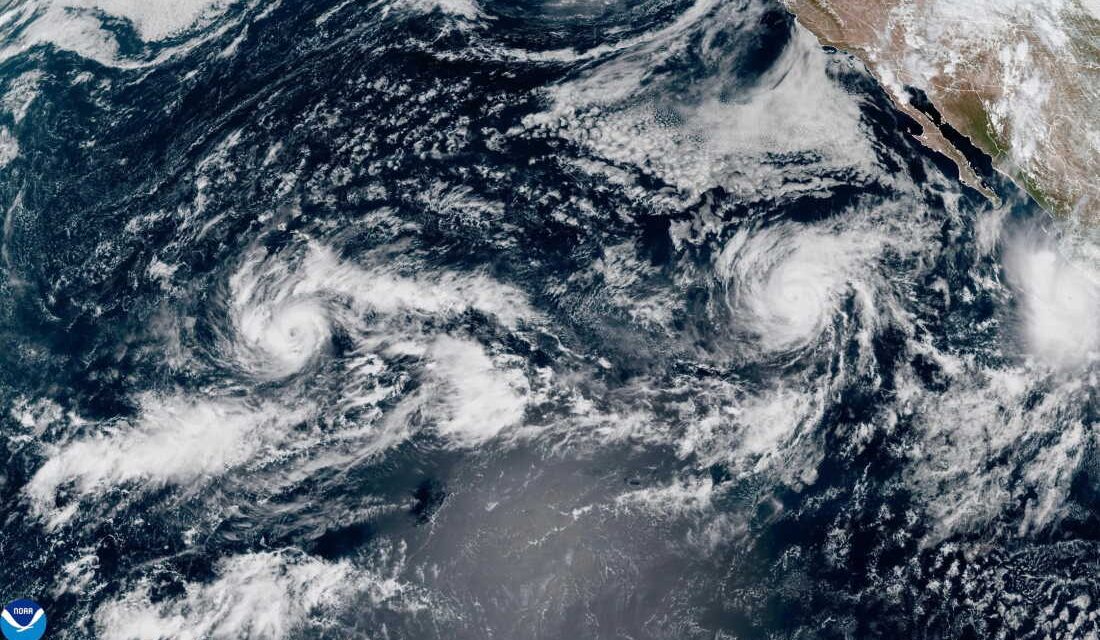
The National Oceanic and Atmospheric Administration provides a satellite image showing three storms in the Pacific Ocean on Thursday, Sept. 24, 2026. Tropical Storm Nolo is located south of Hawaii, Hurricane Polo is off the Mexican coast, and Hurricane Odalys is situated in the middle. This image illustrates the Pacific’s heightened hurricane activity compared to the Atlantic.
This year marks a unique hurricane season in both the Atlantic and Pacific Oceans, with markedly different occurrences. The Pacific Ocean has recorded 18 hurricanes and 41 named storms, unusually high numbers at this point. In stark contrast, the Atlantic Ocean has not witnessed any full-blown hurricanes, a situation unseen in over a century as of September 25. Only seven named storms have formed in the Atlantic, comprising less intense tropical storms.
Gabriel Vecchi, a professor of geosciences at Princeton University, notes the distinct differences: “The Pacific: incredibly active; The North Atlantic: incredibly inactive.”
Impact of El Niño
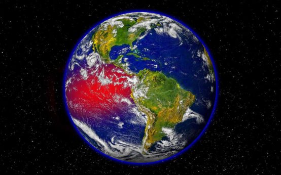
Scientists attribute these unusual conditions to a potent El Niño climate pattern. This natural phenomenon, occurring every few years, typically diminishes hurricane formation in the Atlantic while intensifying storm occurrences in the Pacific. Hawaii finds itself particularly affected by this shift, with Hurricane Nolo expected to cause heavy rainfall and potential flooding this weekend, following threats from Hurricane Lala in August and Hurricane Lowell in early September.
El Niño results from increased water temperatures in the Pacific Ocean near the equator, which fuels larger and stronger hurricanes. This year’s El Niño event is breaking records as Pacific water temperatures soar to unprecedented heights, even before reaching its peak.
Brian McNoldy, a senior research associate at the University of Miami, comments on the phenomenon’s exceeding expectations in both Pacific and Atlantic scenarios: “We are headed toward what will almost certainly be the strongest El Niño on record.” The warmer waters also contribute to rapid storm intensification, as evidenced by Hurricane Polo strengthening from a tropical storm to a Category 5 hurricane in less than 24 hours.
Connection to Climate Change
Researchers are still exploring the reasons behind variance in El Niño strength. Recent studies propose that climate change could be influencing stronger El Niño events. According to Vecchi, although this science remains uncertain, the overall impacts of El Niño are understood. It generally elevates global temperatures and alters weather patterns, making some regions wetter and others drier.
Paul Roundy, a professor of atmospheric science at the University at Albany, monitors potential future impacts. El Niño could result in more storms affecting Hawaii, droughts and fires in Central America, and a wetter winter for parts of the Southwestern U.S., potentially triggering floods.
Beyond the immediate effects, human-induced climate change persistently escalates the likelihood of extreme weather worldwide. McNoldy explains, “You can think of climate change as always acting in the background of basically everything we’re experiencing in the ocean, in the atmosphere.”
 Understanding the Impact of a ‘Super’ El Niño
  Nor’easter Hits Mid-Atlantic and New England; Hurricane Nolo Advances on Hawaii
  Impact of Rising Diesel Prices on Economy and Consumers
  Managing Euonymus Scale Infestation in Pachysandra
 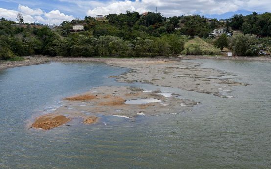 Puerto Rico’s Water Crisis: Infrastructure Challenges and Civic Engagement
 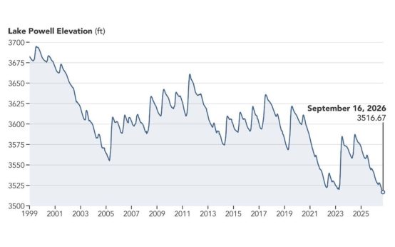 Satellite Images Show Dramatic Retreat of Lake Powell Over Nine Years