
Severe Weather Threat Explained
On Wednesday, parts of Arizona and Southern California are facing an unusual severe-weather threat. The National Weather Service Storm Prediction Center has placed areas like Phoenix and Tucson under a marginal risk, which is Level 1 out of 5 on the severity scale. In Southern California, there is also the possibility of an isolated, brief tornado along the coast due to possible rotating cells known as waterspouts. If these waterspouts move inland, they can cause brief tornado damage before dissipating within a mile or two.
The weather conditions causing this risk are driven by an upper-level low. This refers to a high-altitude pocket of cold air, low pressure, and spin. On Tuesday afternoon, this system was located offshore from Southern California, pushing warm, moist air northward.
Impact on Arizona
In Arizona, this setup brings a significant influx of Pacific moisture. A flood watch is in place for most of the state. On Wednesday afternoon, the enhanced air mass will likely lead to showers and storms. Some of these storms may become severe, dropping one to two inches of rain quickly and potentially causing localized flash flooding due to Arizona’s sandy soils. A few storms might develop into supercells, which are rotating thunderstorms.
This upper-level low-pressure area affects the jet stream by causing a trough, which involves a dip that introduces wind shear. Wind shear refers to changing wind speeds or directions with height. These changing winds can make tall thunderstorm clouds rotate, introducing some tornado risk — something rarely seen in this region of the United States.
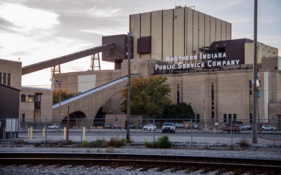 Community Urges Closure of NIPSCO’s Coal Plant in Michigan City
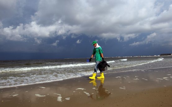 Marine Life Decline in Gulf of Mexico Post-Deepwater Horizon Spill
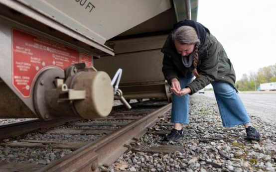 The Great Lakes’ Plastic Pollution Crisis: Underreported Dangers and Industry’s Role
 Arizona Candidates Prioritize Water Policy Amid Drought Concerns
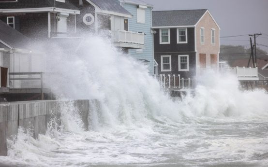 Nor’easter Threatens U.S. With Greater Impact Than Recent Hurricanes
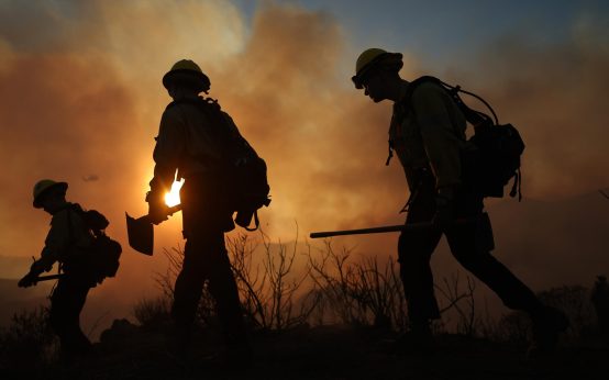 Malibu Residents Confront Fire Challenges with Community Spirit and Resilience