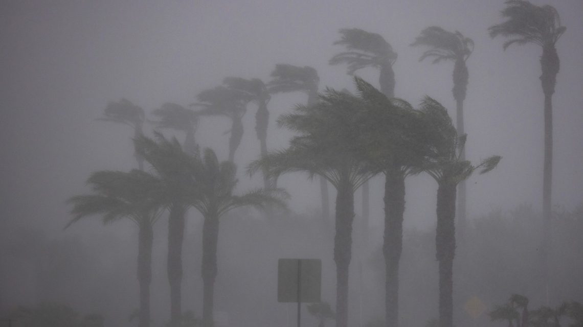
California and the Southeast face potential significant impacts from El Niño as it intensifies across the Pacific Ocean. The condition, expected to be more intense than in decades, might bring harsh weather to the U.S. through early 2027. Some states could experience notably severe storms this year.
Understanding El Niño
El Niño represents the warm phase of the El Niño-Southern Oscillation (ENSO), a cyclic climate pattern resulting from Pacific Ocean and atmospheric interactions. Its opposite is La Niña, marking the cool phase. Defined by unusually warm Pacific sea-surface temperatures, El Niño causes stormier southern U.S. weather and drier northern conditions. It also affects hurricane activity.
NOAA meteorologist Tony Fracasso explained that these temperature elevations are currently in the eastern Pacific, forecasting further developments into winter. Historically, substantial El Niño episodes have led to extreme weather, like the 1997-98 and 2015-16 events which caused significant flooding and global temperature records, respectively.
Impact on Specific States
California and the Southeast are expected to face intense storms due to El Niño. Fracasso stated that the phenomenon might adjust the storm track nationwide and bring warmer air to the contiguous U.S., resulting in a milder winter. Although every El Niño varies, California has historically experienced increased rainfall during such events.
The South could see wetter conditions, including Gulf states and possibly the Carolinas. Warmer temperatures will prevail overall, yet cold air and snow remain possibilities. Farther north, regions like the Great Lakes might encounter drier weather.
NOAA’s August analysis anticipated El Niño to grow stronger through year-end, with a 69 percent probability of a historic event surpassing El Niño records dating back to 1950. Western states such as California, Nevada, Utah, Colorado, New Mexico, and Arizona might also witness increased winter snowfall.
Forecasting ‘Unprecedented’ Weather
Meteorologist Jeff Berardelli from WFLA-TV mentioned on social media that El Niño is likely to intensify further, predicting unprecedented events due to its magnitude. A surge of west winds in the Tropical Pacific may increase warming, peaking at about 4.0 degrees Celsius above normal, potentially breaking past records.
For the southern U.S. and Florida, Berardelli suggests a strong subtropical jet stream could form by late fall, bringing frequent fronts, severe weather, and consistent rainfall. California might benefit from additional winter rain.
The NOAA describes a subtropical jet stream as a narrow zone of rapidly flowing westerly winds in the upper atmosphere, usually located around 30 degrees latitude.
The ‘Super El Niño’
This current El Niño, dubbed ‘Super El Niño’, refers to highly potent events, last seen in 2015-2016 when Pacific Ocean temperatures were atypically high. Fracasso highlighted persistent uncertainties about this year’s El Niño strength, acknowledging the complex oceanic and atmospheric interactions that challenge precise modeling.
For more details, contact Newsweek editors Anna Commander and Anthony Murray.
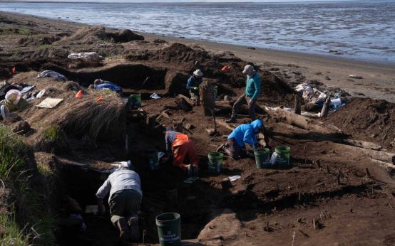 Urgent Archaeological Efforts in Quinhagak Stay Ahead of Erosion
 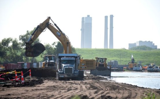 Concerns Rise Over NIPSCO Permit In Jasper County
  Reader Reactions on Grizzlies and Data Centers
 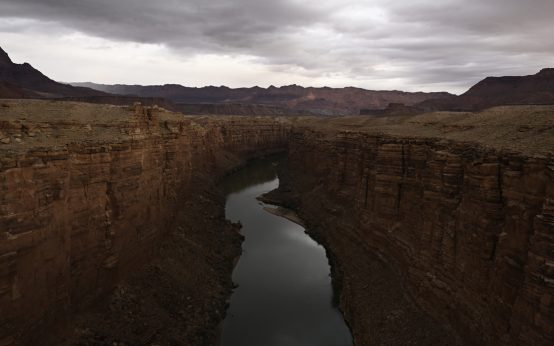 Managing the Crisis of Drying Rivers
 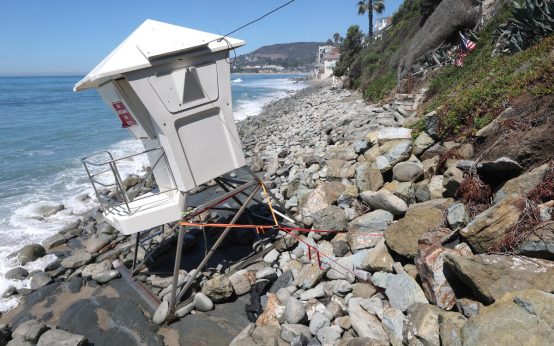 Impact of Kelvin Waves on Southern California
 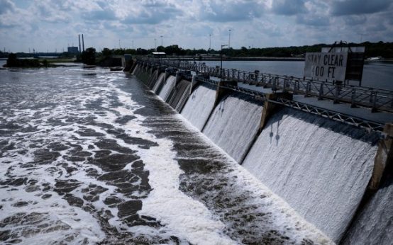 Efforts to Protect Great Lakes from Invasive Carp Resume