
The National Hurricane Center (NHC) is currently tracking three disturbances across the Atlantic region. This observation period aligns with the impending peak of the hurricane season. A tropical wave emerging off the coast of Africa shows a growing likelihood of development in the upcoming week.
No tropical cyclones are presently active in the Atlantic. However, meteorologists remain vigilant with tropical waves moving from Africa, as these often develop into tropical storms or hurricanes. As of now, none of the systems threaten the United States.
“A tropical wave will likely organize into an area of low pressure shortly after leaving the coast of Africa in a few days,” stated WFLA meteorologist Juliana Mejia.
Current Disturbances
The hurricane center’s outlook from 2 p.m. ET on Saturday details the following systems:
- Northeastern Atlantic: A non-tropical low-pressure area several hundred miles northeast of the Azores could briefly develop tropical features. It holds a 20% chance of development over the next seven days before encountering unfavorable conditions near Portugal and northwestern Spain.
- Central Atlantic: A weak low-pressure area located a few hundred miles east-southwest of Bermuda is producing scattered showers and thunderstorms. Slow development is anticipated as it moves west-southwest, followed by a northward turn early next week. This system has a 10% chance of developing within 48 hours and a 20% chance over seven days.
- West Africa: A tropical wave is expected to move from Africa’s west coast early next week, potentially forming a low-pressure area. The chances of development into a tropical cyclone stand at approximately 40% over the next seven days.
Season Peak and Pacific Conditions
Monitoring intensifies as the Atlantic hurricane season traditionally hits its peak on September 10. Historically, the span from late August to October experiences significant tropical activity due to warm ocean temperatures and favorable atmospheric conditions.
Meanwhile, the Pacific basin has seen more activity. Hurricane Lala recently caused severe flooding, destructive winds, and power outages in Hawaii. Additionally, Tropical Storm Moke is expected to bring heavy rain and dangerous surf to Hawaii this weekend.
An active El Niño phase mainly drives Pacific conditions. This phase yields lower vertical wind shear and higher sea surface temperatures, fostering storm development, reports the National Oceanic and Atmospheric Administration (NOAA).
Conversely, the Atlantic has had a quieter season start, due to the same El Niño pattern, which enhances upper-level wind shear and reduces conducive conditions.
The differing activity levels across oceans highlight the historical variability in tropical systems, as Atlantic forecasters stay prepared for possible changes.
For more information, contact Newsweek editors Steve Mollman and Anthony Murray.
 Data Centers in Virginia face Growing Opposition
 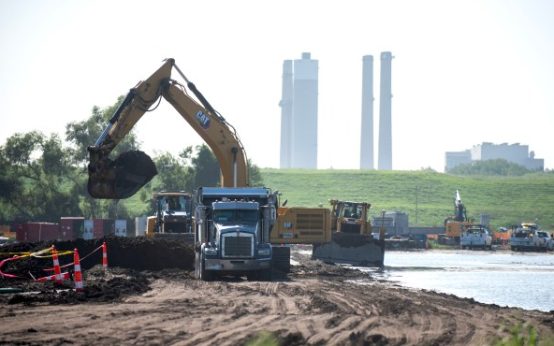 EPA Dismantles Greenhouse Gas Rules, Causing Concern
 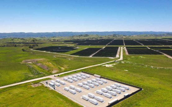 How Battery Innovations Transform Renewable Energy
  Data Centers Stir Controversy in Texas Amid Growth Boom
 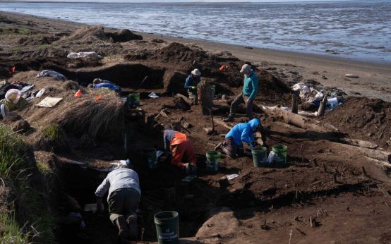 Urgent Archaeological Efforts in Quinhagak Stay Ahead of Erosion
 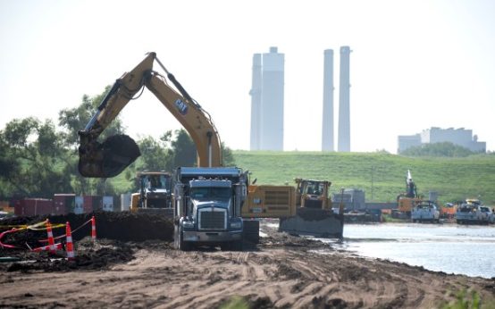 Concerns Rise Over NIPSCO Permit In Jasper County