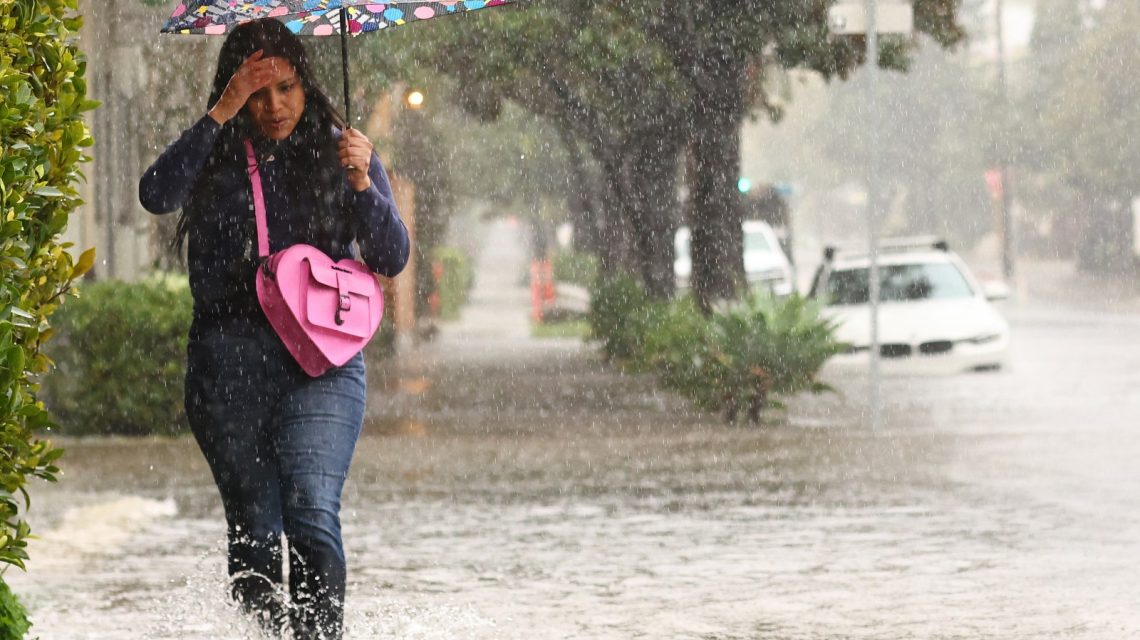
A strengthening super El Niño is anticipated to become the primary driver of U.S. weather in the coming months. Forecasters warn that one of the most powerful events in decades could start altering rainfall, storm paths, and snow patterns as fall transitions into winter.
El Niño occurs when ocean waters across the equatorial Pacific warm beyond average levels, affecting atmospheric circulation and weather worldwide. AccuWeather reported that confidence is nearly 100 percent that the climate pattern will meet super El Niño criteria. Early effects might appear in October, but significant impacts are expected to intensify from late fall into winter. This could bring more rain to regions like the South and California, while other areas may experience warmer or drier conditions.
Understanding Super El Niño and Its Implications
Super El Niño develops when tropical Pacific warming reaches high levels, amplifying atmospheric effects influencing global weather. Though the National Oceanic and Atmospheric Administration (NOAA) doesn’t officially use the term “super El Niño,” it classifies events by strength, such as “strong” and “very strong.” Other agencies frequently use the term for exceptionally intense episodes.
The developing event shows signs of possibly reaching NOAA’s “very strong” category by winter. A classic super El Niño pattern often brings more storms to California and the southern U.S., with milder conditions in the northern states and potentially drier trends in the Pacific Northwest. Meteorologists note that El Niño is one factor influencing winter weather, and individual storms can produce varied outcomes. AccuWeather forecaster Paul Pastelok stated the detailed forecast for the developing El Niño isn’t finalized, and impacts might differ from current expectations.
Timing of Super El Niño Impacts
Some effects, described by Pastelok as “previews,” are already observed in the U.S., like droughts and fires in the Pacific Northwest and Rocky Mountains. These could link to warming Pacific Ocean waters from the strengthening El Niño. Dry conditions experienced in July across places like Iowa and Nebraska may also relate, although Pastelok considers these not direct effects, more likely in cooler seasons.
North America’s strongest El Niño impacts manifest in cooler seasons when northern and southern jet streams interact. Pastelok suggests the U.S. Southwest and the area from Texas to the Tennessee Valley could start seeing weather changes from late October to November. Increasing “upper lows,” or regions of low pressure, might raise rain and flood risks as an initial El Niño indication.
By mid-fall or later, drier conditions could prevail across the Great Lakes and Upper Midwest. Florida and southern Georgia might undergo severe weather by November, with tornado risks in cities like Jacksonville, Tampa, and Orlando beginning then. In Southern California, heavy rain at lower elevations may commence as early as November, becoming more prevalent by December.
Impacts on U.S. Ski Season
El Niño’s ski season effects differ by location. Renowned ski areas in Utah, Colorado, and California could benefit from stronger storm tracks and increased precipitation, enhancing snowfall totals and snowpack during winter. Historically, the central Sierra Nevadas in California thrive during strong El Niño events, while Utah’s Wasatch Range often receives frequent snowstorms.
Conditions farther north may be less favorable. Oregon and parts of the Pacific Northwest often see below-average snowfall during strong El Niño winters, with a less predictable outlook for northern Rocky Mountain resorts. Rising temperatures from climate change might lead to more rain instead of snow at lower elevations, even in wet El Niño seasons.
Super El Niño Snowfall Predictions
New winter outlook maps by OpenSnow suggest stronger snowfall prospects shifting to the Southwest and southern Rockies, while northern states might experience below-average snowfall. States like California and Utah could benefit the most, with favorable conditions for abundant snowfall in many mountain areas. Heavy Pacific storm systems might repeatedly impact the Sierra Nevadas, providing substantial snow to regions of the central and southern Rockies.
Elsewhere, forecasts are less certain. Colorado resorts might lie in a transitional zone between wetter and drier storm tracks. Oregon, Montana, and parts of the northern Rockies might receive less snowfall than average during strong El Niño patterns. Much of the Midwest, northern U.S., Great Lakes, and Northeast are anticipated to see below-average snowfall totals.
Expectations Moving Forward
Although some El Niño-related effects are surfacing in the Pacific, its influence on U.S. weather typically becomes clearer during fall and winter. As ocean temperatures rise and the atmosphere adapts, El Niño can reshape storm paths, modify rainfall, and affect temperatures across extensive areas of the country. The most significant impacts typically unfold between late fall and early spring when the pattern reaches maximum strength.
 Seasonal Almanac Forecasts and Their Accuracy
  Day of Action Planned Against Trump’s National Parks Agenda
  California’s New Wildfire Regulations
  Black Bear Incident Highlights Colorado’s Rising Bear Encounters
  U.S. Border Agents Uncover Reptile Smuggling Attempt
  Bodies of Belgian Climbers Found in Swiss Alps After 34 Years