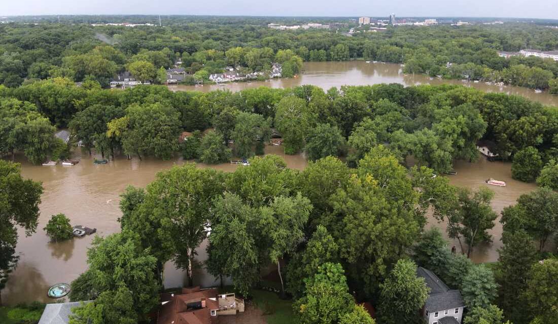
Aerial photos from the Indianapolis Fire Department show extensive flooding in northern Indianapolis. The National Weather Service (NWS) reports that continuous thunderstorms are causing severe flooding across the Midwest. Heavy rainfall is predicted to persist at least through Sunday, affecting regions such as the Ohio Valley, Midwest, and central Appalachians. These areas are already saturated, with floodwaters only beginning to recede.
As of Saturday afternoon, at least three fatalities were reported, and over 150,000 people lost power. Indiana and Ohio have been among the worst affected, with some areas receiving over 11 inches of rain in the past week. The White River in Anderson, Indiana, reached a record 24.9 feet, surpassing a flood level set in 1913.
The NWS issued flash flood and flood warnings for central Illinois and Indiana, with flood watches extending from Iowa and Missouri to central West Virginia. Indiana’s Governor Mike Braun has declared a Statewide Disaster Emergency and has requested federal aid, mobilizing both state resources and the National Guard.
“I will do everything in my power to protect Hoosier lives and livelihoods as we respond to this historic severe weather,” stated Gov. Braun.
Apart from the rain, areas in Indiana have faced additional challenges, including tornadoes and a derecho in recent days. Cyndee Gillmore, owner of Cornerstone Campground and Retreat Center in New Castle, Indiana, reported significant flooding, with five feet of water damaging various facilities. Although the community is united in recovery efforts, Gillmore expressed concerns over financial recovery due to a lack of flood insurance.
The financial impact on homeowners like Gillmore is significant, as many lack flood insurance. While the Federal Emergency Management Agency (FEMA) manages most flood insurance, it largely relies on outdated risk maps not accounting for heavy rainfall and flash flooding, focusing more on coastal storm surges and river flooding. An investigation by NPR highlighted discrepancies in FEMA’s maps, showing that many Americans live in flood-prone areas unbeknownst to them.
For example, during Hurricane Helene in 2024, 98% of damaged homes in North Carolina were not on FEMA’s maps, leading to uninsured losses. More Midwest property owners may encounter similar issues, as the National Oceanic and Atmospheric Administration predicts minor to major flooding in parts of the region. Recorded rainfall includes nearly 10 inches at Washington Municipal Airport in Iowa, around 8 inches in Glouster, Ohio, and over 6 inches in Elkhorn Creek, Kentucky.
As rain continues, the risk of flooding downstream intensifies, with more storms anticipated in coming days.
 Trump’s Immigration Policy and Historical Parallels
 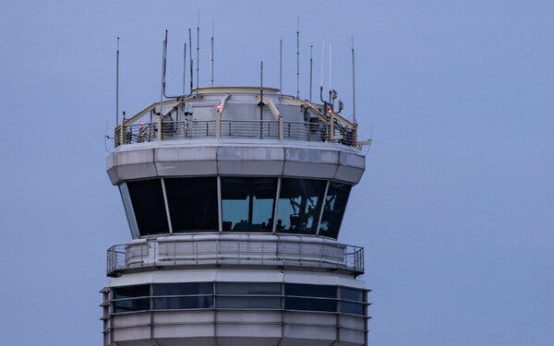 Alert Air Traffic Controller Prevents Potential Mishap
  Plagiarism Scandal and Tragic Death of British Sociologist Jason Arday
  Judge Rules in Favor of Trump Administration on Border Wall Construction
 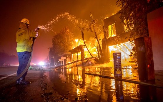 Resilience Shines as Palisades Village Reopens After Devastating Wildfire
  U.S. Army Halts Apache Training Flights After Fatal Crash