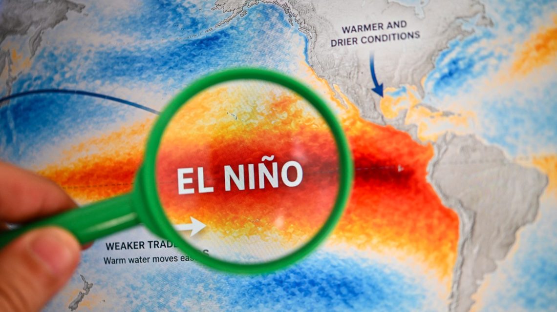
A potentially historic El Niño is expected to grow stronger in the coming months, sparking curiosity about its impact on weather across the United States this winter. Federal forecasters announced on Thursday that the phenomenon is likely to intensify until the end of 2026, with over a 90 percent chance of becoming a very strong event during fall and winter.
Understanding El Niño
El Niño represents the warm phase of the El Niño-Southern Oscillation, known as ENSO. It is a recurring climate pattern originating in the Pacific Ocean that impacts global weather. La Niña is its cool phase counterpart.
Typical effects of El Niño involve stormier conditions in the Southern U.S., dry spells in some northern regions, and changes in hurricane activity.
The National Oceanic and Atmospheric Administration’s Climate Prediction Center provided an update this week, indicating a 75 percent probability that El Niño will attain record strength from October to December, surpassing past events recorded since 1950. This likelihood has risen from 69 percent in August. Despite the magnitude of this event and its potential to enhance typical El Niño weather effects, these impacts are not guaranteed.
The term “Super El Niño” is widely used to describe exceptionally strong events, though it is not officially recognized by NOAA.
Expectations for El Niño This Winter
AccuWeather’s lead long-range expert, Paul Pastelok, shared insights with Newsweek, predicting that December might experience heavy rainfall in central and Northern California, possibly extending to the Northeast and snowfall in the Sierras.
Pastelok identified another storm pattern potentially emerging from the Gulf Coast to the mid-Atlantic, with heavier rains anticipated for the Southeast and Tennessee Valley, alongside severe thunderstorms in the Southeast and mid-Atlantic regions. In contrast, mild conditions may prevail across the Great Lakes, Midwest, and Northeast, compared to average temperatures.
The meteorologist noted January and February could mirror these patterns, with a robust storm path affecting the West Coast, particularly California and Nevada, and reaching the Four Corners area.
The Northwest and the northern parts of the nation might experience less snowfall and infrequent cold air waves, while the Gulf Coast to the Mid-Atlantic and Southeast faces wet and stormy weather at intervals. Pastelok emphasized ongoing research as additional factors could modify these expectations for a strong El Niño.
Climate Prediction Center Winter Outlooks
Maps from the CPC, released last month, outlined the agency’s forecasts for temperature and precipitation during December 2026 through February 2027.
The temperature outlook anticipates above-normal conditions across a large portion of the U.S., including the Pacific Northwest, northern Rockies, Plains, Midwest, and Northeast, with the most pronounced warmth in northern areas.
Above-normal temperatures are also expected throughout the Southern U.S., though the prediction is less clear for parts of California and the Southwest.
Regarding precipitation, forecasts suggest wetter-than-normal conditions from Southern California stretching across the Southwest, southern Plains, the Gulf Coast, Florida, and along parts of the East Coast.
For additional information, contact Newsweek editors Ben Kelly and Sam Wilson.
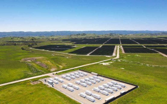 How Battery Innovations Transform Renewable Energy
  Data Centers Stir Controversy in Texas Amid Growth Boom
 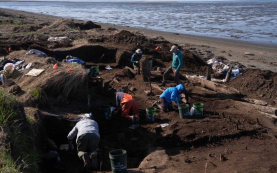 Urgent Archaeological Efforts in Quinhagak Stay Ahead of Erosion
 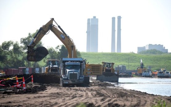 Concerns Rise Over NIPSCO Permit In Jasper County
  Reader Reactions on Grizzlies and Data Centers
  Managing the Crisis of Drying Rivers