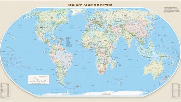
The United Nations General Assembly recently adopted a resolution recommending a new world map, the Equal Earth projection, which portrays Africa in its actual size, much larger than commonly represented. The campaign supporting this initiative was spearheaded by African countries and advocacy groups.
Sponsored by Togo and supported by African Union members, the resolution passed with 164 votes in favor. The U.S. voted against, and six countries—Serbia, Estonia, Georgia, Lithuania, Moldova, and Ukraine—chose to abstain. This vote encourages global premises to swap the Mercator map projection, traditionally used since the 1500s, for the more precise Equal Earth map.
The Mercator projection inaccurately depicts Greenland and Africa as similar in size. In reality, as the Equal Earth map reveals, Africa is 14 times bigger than Greenland.
The resolution does not prohibit the Mercator projection, nor enforce a switch. It merely advocates for wider adoption of the Equal Earth perspective. This initiative aligns with the statement from Togo’s Foreign Minister Robert Dussey: “Maps shape our understanding of the world… They guide education, nourish imagination, and influence collective perceptions.”
Africa No Filter, a leading campaigner for this map change, applauded the resolution, emphasizing the need for accurate maps to be incorporated into educational material, media, businesses, and digital platforms accessed by billions daily.
Several nations have endorsed this map change. “Altering the map doesn’t change the world but correcting flawed representation constitutes an act of truth,” expressed French Foreign Minister Jean-Noël Barrot.
An infographic compares prominent map projections—the Mercator, Gall-Peters, and Equal Earth—with the latter adjusting sizes to reflect true proportions. Developed by Flemish cartographer Gerardus Mercator, the Mercator map was originally intended for navigation, distorting landmasses like North America and Greenland. Conversely, the 2018 Equal Earth projection accommodates the Earth’s curvature for more accurate depictions.
According to Mark Monmonier, a geography professor at Syracuse University, the traditional Mercator map is only useful for navigation and lacks relevance outside of that specific application.
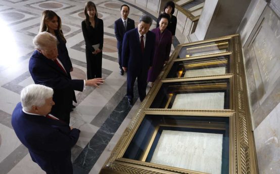 Historical Discrepancies and Diplomatic Sensitivities in U.S.-China Relations
 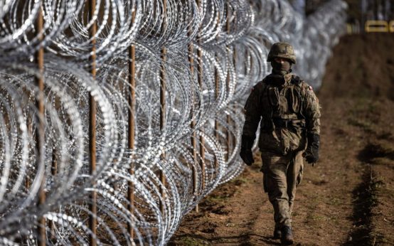 Escalating Tensions: Russia’s Nuclear Threat and the Kaliningrad Conundrum
 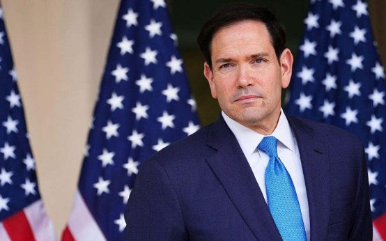 Marco Rubio Discusses Thwarted UK Terror Plot and Global Threats
 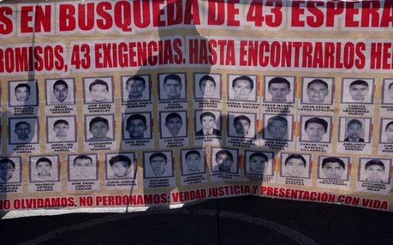 New Leads Emerge in 2014 Ayotzinapa Student Disappearance Case
 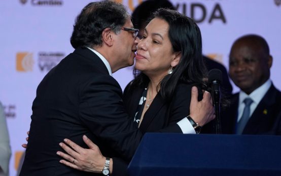 Concerns Over U.N. Secretary-General Candidate’s Alignment
 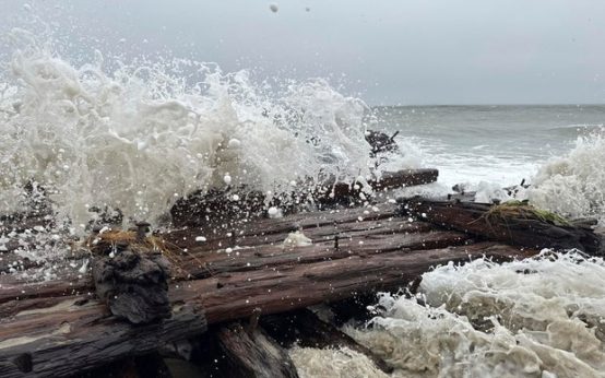 Possible Shipwreck Exposed After Nor’easter in Nantucket