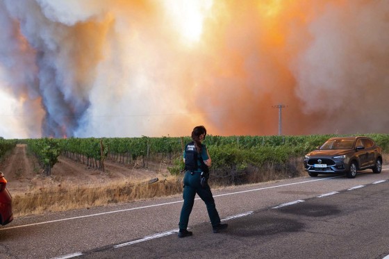
Recent wildfires in France and Spain have devastated large areas at a pace unmatched in recent history. The fires, which have burned through hundreds of square miles, have forced tens of thousands of locals and tourists to evacuate.
In Spain alone, over 450 square miles of land have succumbed to the flames this month. The town of Fermoselle, near the Portugal border, is one of the areas heavily impacted by the smoke-filled skies.
The widespread destruction highlights the urgent need for improved fire management strategies and community preparedness. The natural landscapes and human settlements in both countries face severe risks, demanding swift action to mitigate the damage and prevent future catastrophes.
The path of destruction can be traced through various maps and satellite images, which reveal the scale of the devastation across these regions. The data underscores the need for immediate responses to address the ongoing threats posed by changing climate conditions.
 U.S. Strategic Goals Remain Unmet Amid Prolonged Conflict
  New Photos Reveal Damage from Iranian Strikes in the Middle East
 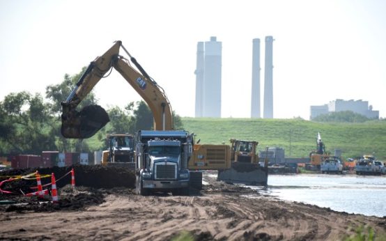 EPA Dismantles Greenhouse Gas Rules, Causing Concern
  Assassin of Chilean Diplomat Orlando Letelier Faces Deportation 50 Years After Assassination
  Gorillaz and Macklemore Respond to Controversy Over Israel-Palestine Statements
 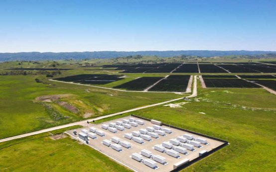 How Battery Innovations Transform Renewable Energy