
November in the East started warm, but colder weather is imminent. From Thursday to Friday, a cold air mass from Canada will meet the still-warm Atlantic waters, possibly forming a nor’easter. This storm may not reach the intensity of late September’s event, but it could bring the first snow of the season to some mountainous areas in the Northeast.
Snow accumulation is expected in areas like the Adirondacks and Catskills in New York, the Pocono Mountains in Pennsylvania, Vermont’s Green Mountains, New Hampshire’s White Mountains, and parts of western Massachusetts and Connecticut near the Taconic Mountains. Some regions have already seen snow this season. Minor snow accumulations could also extend into the Appalachians, reaching parts of West Virginia.
Chilly rain and strong winds will create unpleasant conditions from Massachusetts to New Jersey from Thursday to Friday, with showers predicted for the Mid-Atlantic. While wet snow might mix with rain outside the mountains, little to no snow accumulation is expected here.
Post-storm, cold air will sweep south this weekend, with early morning temperatures predicted to drop into the upper 30s in northern Florida. Freezing temperatures are expected from Mississippi to Georgia. Weekend highs could peak near 50 degrees in D.C., marking the coolest weather there since March.
 Federal Reserve Considers Possible Interest Rate Hike Amid Inflation Concerns
 Military Briefing Warning, West Point Faculty Speech, Pupfish Recovery, Gas Price Drop, and More
 Controversy Surrounds Amtrak’s Bridgeport Rail Yard Project
 Severe Smog Engulfs New Delhi After Diwali Celebrations
 North Siders Debate Over Proposed Electrical Substation
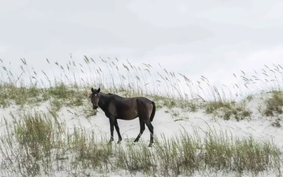 Cumberland Island Land Swap Proposal Sparks Controversy