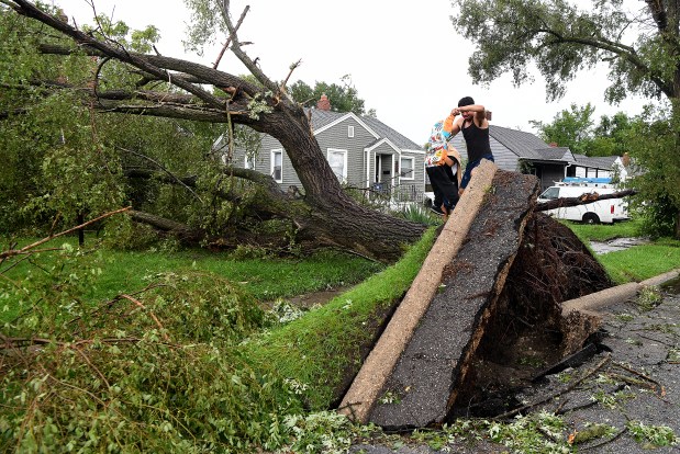
Joe Blockland, a professor at Indiana University Northwest, has created an app for his students to catalog trees on campus. When a storm recently hit the area, it sparked the idea to focus on tree health. Now, students are using the app to examine more than 400 trees for damage and disease. They look for issues such as cracked trunks, leaning trees, and insect holes.
Blockland said, “Each time they go out, they get better at it.” So far, they have mapped around 130 trees, gaining practical use of GIS technology. The app aims to benefit local communities and other campuses. Students contributed to developing categories for assessment to ensure active engagement with the material.
Blockland, who had experience in tree servicing during his undergraduate years, believes the app provides students with local job opportunities and a better understanding of GIS applications. Initially, students performed small exercises before advancing to more complex tasks related to the app.
The app’s development addresses the demand for streamlined data collection methods sought by government agencies and nonprofits. Blockland highlighted that tools like these help in various data collection aspects, such as reporting potholes or assessing potential flooding risks.
Students in the GIS program learn more than just calling tree specialists. They are trained to collect field data that can solve real-world problems. Blockland noted that government and nonprofit entities use such technology to collect seamless data. For instance, Ducks Unlimited and Shirley Heinze Land Trust have already used a similar app for assessing conditions around culverts in Northwest Indiana.
Blockland shared insights into the evolution of GIS technology since his undergraduate days around 2007 or 2008. Today, AI and GIS tools have reduced the manual labor needed in mapping, although Blockland admits they are not yet as good as manual processes. He updates his classes frequently to remain current with industry standards.
In GIS-related careers, entry-level salaries range from the $50,000s to $80,000, while those with five years of experience can earn $90,000 or more. Blockland offers a four-course GIS certificate to showcase students’ employable skills. While many students study GIS for environmental science careers, others from majors such as psychology and art are also participating. They learn to use GIS for creating apps and dashboards.
The entry-level course provides a basic overview, enabling students to use GIS tools practically. In advanced classes, they delve into AI tools and databases. Environmental GIS focuses on issues like mapping flood risks and assessing various hazards. Students also learn programming to automate workflows with tools like Python.
Blockland hopes that students’ experiences with the app project will spark a long-term interest in GIS. He believes that as they gain knowledge and confidence, their skills will expand. The practical application of GIS in solving problems prepares students for an evolving job market.
 Indiana University Northwest Students Develop Tree Cataloging App
 Challenges in Election Security and the Role of AI
 Controversy Over Arabic Language Programs in U.S. Schools
 Ukraine Restores Full Use of Starlink for Military Operations
 Philadelphia’s Delivery Robot Clash Sparks Discussion on Technology and Jobs